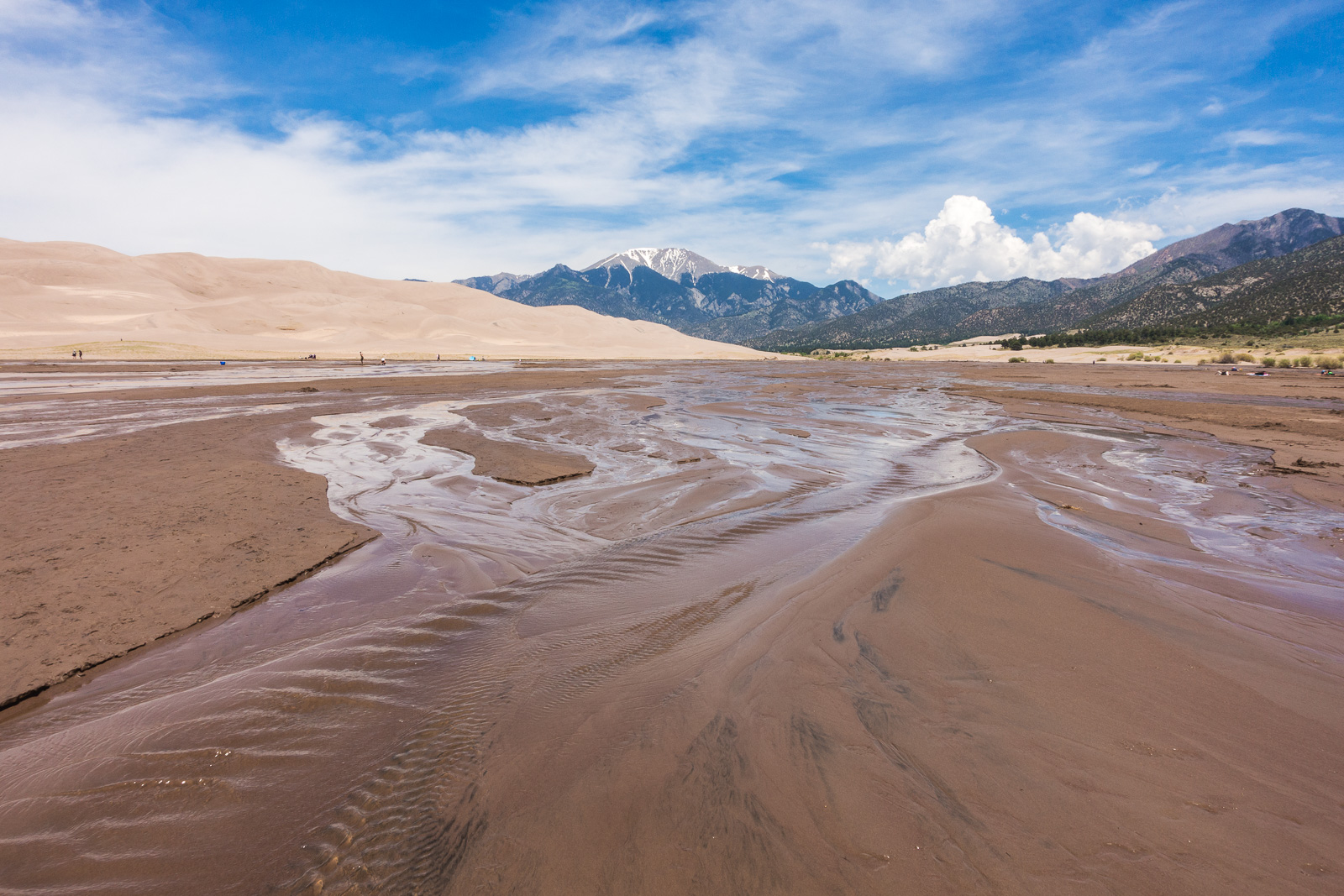
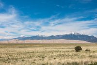
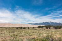
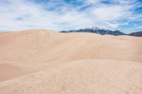
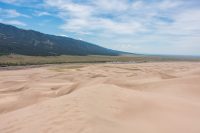
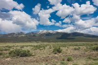
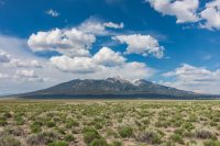
June 6 – 7, 2016: The approach to Great Sand Dunes National Park and Preserve presents a remarkable view of snow-capped mountains towering above rolling sand dunes.

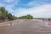
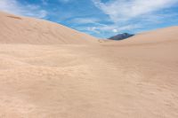
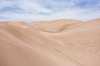
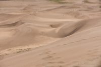
Our visit coincided with the busiest time of year: when the snow melt from the mountains creates a beach area at the base of the dunes (this occurs between April and early June with the strongest flow typically late May to early June). Like many other surreal formations and landscapes we’ve seen, this area was created naturally over millions of years as land uplifted, volcanoes erupted, water flowed, and wind blew. Today people enjoy the seasonal beach and hiking the dunes. In the summer, the sand reaches a temperature of 150 degrees Fahrenheit so hiking is best done in the mornings. We hiked to the almost first ridge of the dunes (High Ridge hike) but later realized we didn’t quite go far enough to get the spectacular views of the edge of the other side of the dune field.


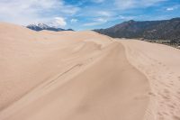

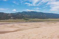
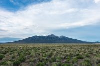
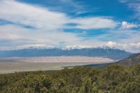
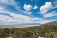
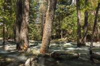
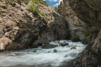
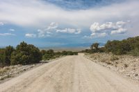
However, spectacular views of the entire dune field are also found from the Zapata Falls Recreation Area. This area, just outside the park boundary, consists of a 3.5+ mile drive up a really rough dirt and gravel road to a parking area. From the parking area, there are views over sand dunes as well as a trailhead for a hike to Zapata Creek. We did the hike to Zapata Creek but, due to freezing cold high waters and swift currents, we did not wade upstream to the nearby cave. However, if you do, you’ll be rewarded with a waterfall view. If you’re able to do this portion, please send us a photo and let us know what we missed!

Accommodation:
TIP: Camping is also available at Zapata Falls Recreation Area (BLM land). We’d recommend this more secluded area over the Mosca Campground in San Luis State Park.